What aspects of the build and design process did you begin with when starting Phase 2 and how has your mission changed since your original submission?
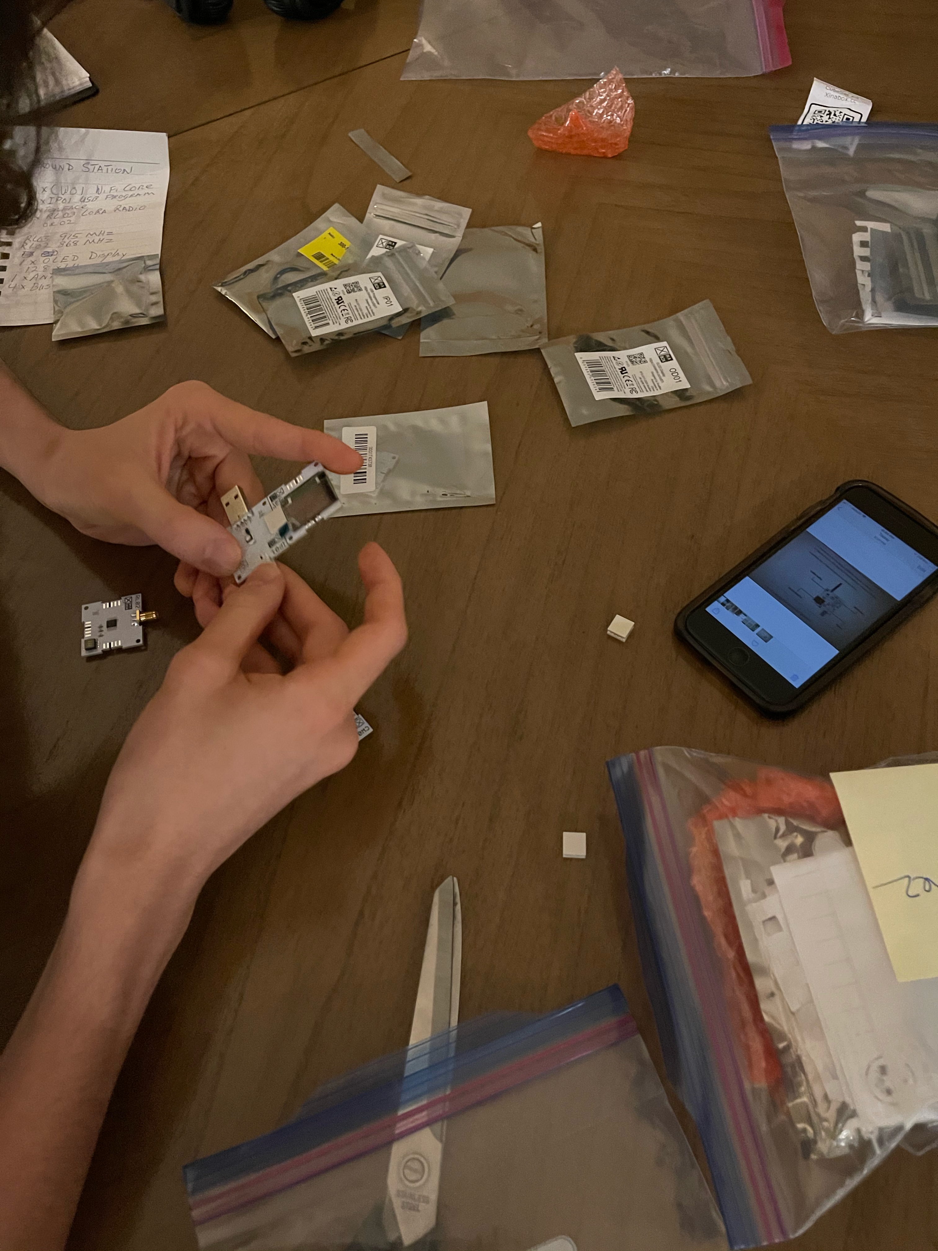
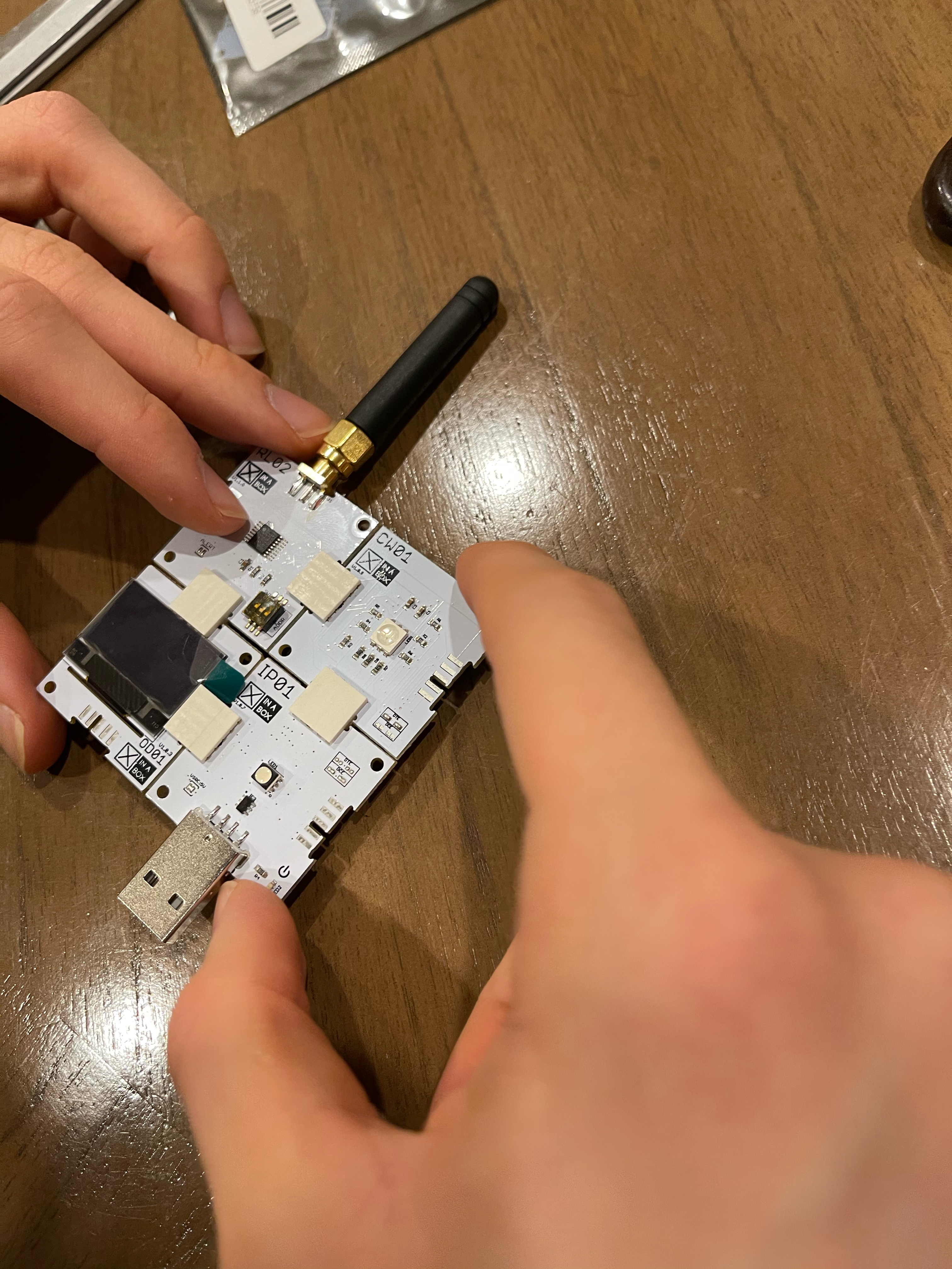
Our phase two build is still in the planning stage. When we received our complete XinaBox kit on February 24, we went through all the components and repackaged them by flight stations and ground stations. In order to give each student an engineering component of the project, we created a spreadsheet and had students sign up for a role that interested them. Since there weren’t enough actual CubeSat build roles for the project, we had to be creative and come up with roles related to other aspects of the project mission. Each role allows students to experience the engineering design process and contribute to our story:
- XinaBox flight station: Gabriela and Daniel
- XinaBox ground station: Daniel and Matthew
- Arduino: Matthew
- DIY night vision cell phone: Vahe, Gabriela, Rita, Hakob, and Karlo
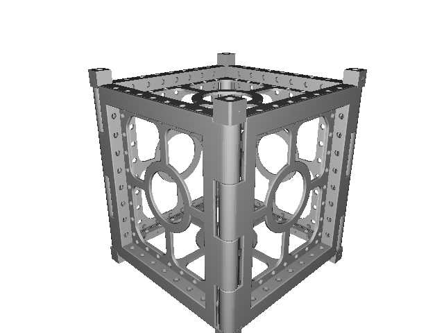
- 3D printing and frame construction: Taline
- LEGO Spike Prime set: Karmela and Roi
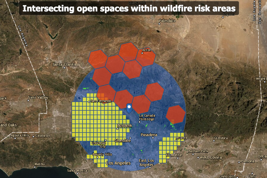
As part of our planning, students mapped our study area and did a site suitability model. We found that the area we planned to fly the CubeSat is within an FAA UAS Controlled Airspace, which does not allow any unmanned aircraft system (UAS) to be flown. Knowing that the site in mind is otherwise perfect for our mission, we found weather balloons online that we will use to carry our CubeSat. We will keep the balloon tethered to avoid collision with aircraft.
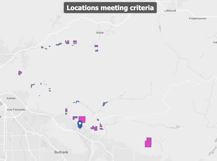
Further analysis did identify other potential locations that will allow us to fly the CubeSat on an unmanned aerial vehicle (UAV). We have been ground truthing these locations for the presence of homeless encampments.
Can you tell us about your team, including: who is on it, the roles everyone plays, the connection to CTE, and mentors you have engaged?
We have 12 students in the CTE Honors GIS & Remote Sensing class. Students were asked to choose one or more building roles for the project; each has a mapping and analysis role for the project. After starting with a site suitability analysis for conducting mission flight operations, students used ArcGIS Online to map past fire perimeters, fire risk, airports, controlled airspaces, open spaces, and known homeless numbers within a 15-mile radius of our school. The results identified a number of different locations where we could use a UAS to carry our CubeSat.
We have engaged with mentors from Lockheed Martin to help with 3D printing and Raytheon to discuss actual satellite construction and objectives in industry.
What have you learned so far? What early successes have you encountered while designing and building your prototype? What challenges?
So far, we have learned that we cannot fly a UAV where we originally planned to conduct flight operations. Students have not yet picked up supplies from school to start their build. Some students are learning the GIS (geographic information system) programs we plan to use to document our mission. Those using school computers through our Splashtop remote program are having difficulty working with the large imagery files in Drone2Map, while those who were able to download the programs at home and run them off home computers have had no problem creating 2D and 3D mosaics of UAV collected imagery. Most students were able to run the Full Motion Video application to create an interactive map animating a flight path on one screen and a window showing the video from the UAV point of view on the other. The GIS components described here will be included in our final flight report using data from our CubeSat mission.
-
-
Intersecting open spaces within wildfire risk areas
-
-
Locations meeting criteria