About the team

Freeport High School (Freeport, New York) measured Earth’s surface temperature to study the differences in heat absorption and retention between urban and rural areas.

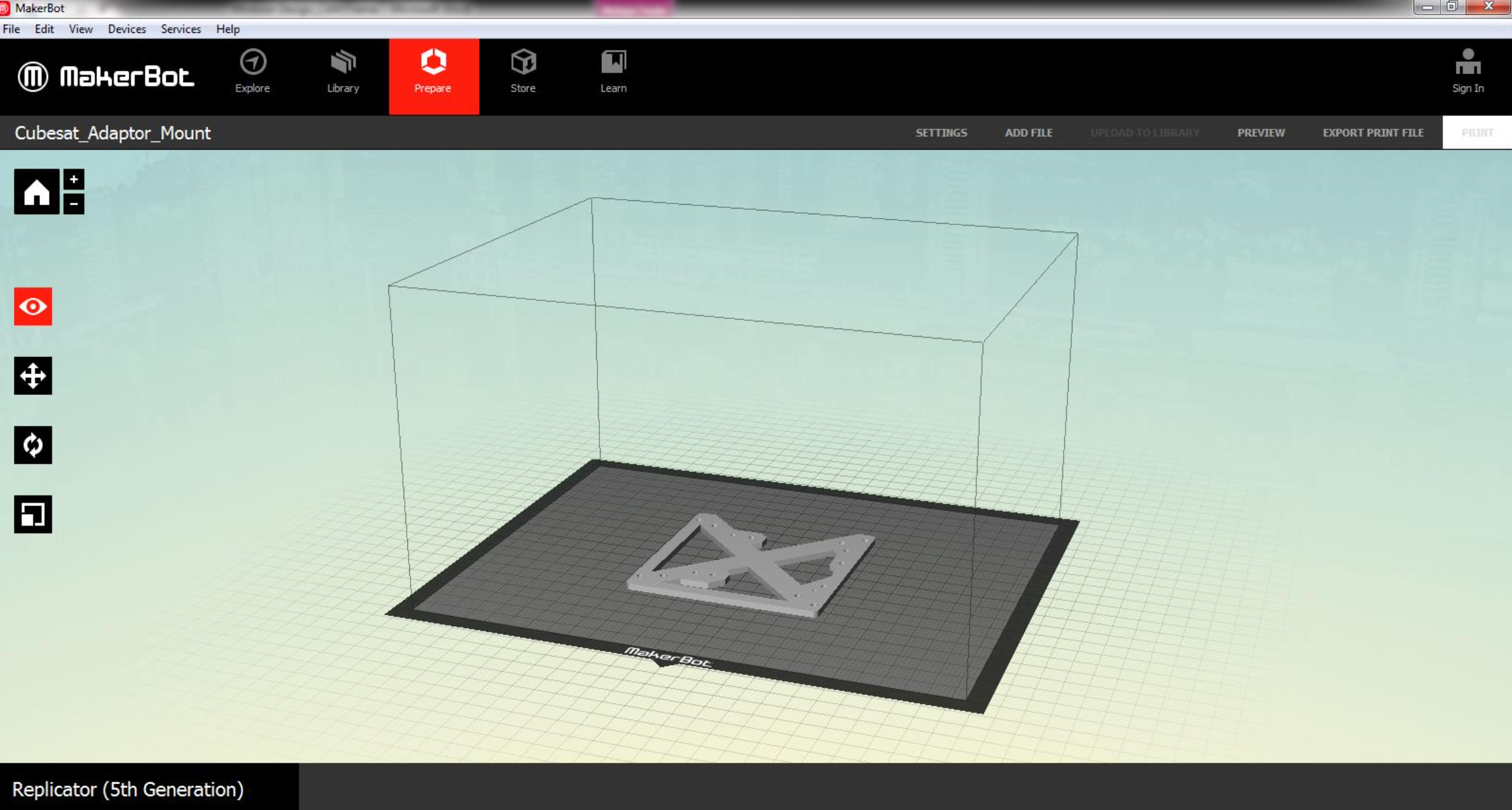
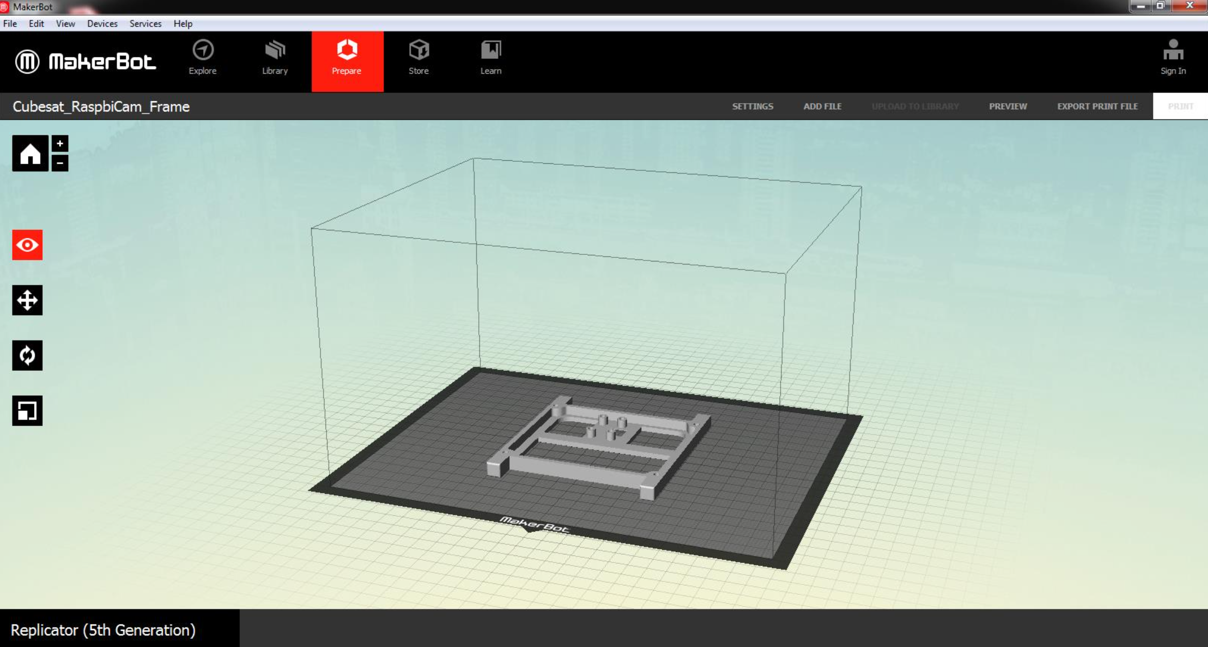
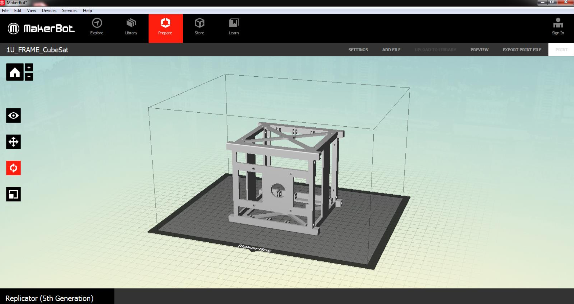
The primary mission of Freeport’s CubeSat prototype was to gather environmental observations to support authentic student research and create citizen scientists. For the past few years, Freeport High School students have taken part in the federally sponsored Global Learning and Observations to Benefit the Environment (GLOBE) program. The prototype used two thermal imaging cameras in specific bands to make observations of Earth’s surface temperature. This data was used by students in their ongoing effort to study the urban heat island effect. If successful, the CubeSat could be employed as a dedicated satellite to the GLOBE program, giving it another educational dimension. Improvements on future launches may allow Freeport to make measurements to assess large-scale satellites’ cost effectiveness by capturing comparable scientific data.

In 2018, Freeport Schools was chosen to participate in the Amateur Radio on the International Space Station (ARISS) Program. At this event, elementary, middle, and high school students spoke to astronaut Scott Tingle aboard the ISS. On November 23, 2020, Scott Tingle reconnected virtually with Freeport to give a presentation on the requisite skills for becoming an astronaut and watch the Freeport CubeSat team present their CubeSat mission proposal.

CTE Team Lead

Richard Johnson, Business & Technology Lead Teacher, CTE Coordinator

Learn more

In the news

LI News Radio: Spotlight on Long Island Schools (Part 1)

LI News Radio: Spotlight on Long Island Schools (Part 2)

Look back at the team’s progress

Testing reliability of GPS data and range of LoRa radio

March update

What major questions do you hope to answer from testing your prototype? How have mentors helped you refine these questions?

We plan to fly our prototype using a drone that will reach an altitude of 200 feet, with the aim of studying the following: 

  • The reliability of our GPS data by comparing it with the GPS data derived from the drone.
  • Whether two Arduino boards can communicate with each other through LoRa (a proprietary low-power wide-area radio technique) and up to what height this communication is effective.
  • Whether our GPS data, written in GPGGA style, can be used with Google Earth to obtain a 3D plot of the drone’s trajectory.
  • The success of attitude control using an Arduino Inertial Measurement Unit shield to obtain the prototype’s orientation.

The results should enable us to determine when a good photograph of the Earth’s surface can be taken. However, David Cuartielles of Arduino cautioned us that GPS sensors can only work up to accelerations of 1G. Therefore, we plan to adhere to this limit.

What has your team learned about the importance of testing, and what career-ready skills have you applied during this process?

Our code enables us to find out if the laptop, GPS sensor, SD card, and LoRa radio are configured correctly. An LED light will start blinking if any of these instruments are not working. We are also learning that failure at the first attempt is very common, and it is important to not proceed further until the root of the problem has been identified. Career-ready skills we’re learning include the importance of testing each electronic component separately and writing computer programs that can identify problems in the various components.

While testing your prototype, what has surprised you? How have you revised your research question or mission plans based on unexpected results?

We tested whether two Arduino boards can communicate with each other through LoRa radio. We found out that if the GPS sensor is connected to the Arduino by an I2C cable (a protocol for connecting embedded systems) and then powered by a lithium polymer (LiPo) battery, the GPS will not have enough power to work. For the system to work, the GPS must be used as a shield. While this has not caused us to revise our research plan, we realized the importance of reading all technical documents and then testing to ensure the information is correct.


Using the Arduino boards and sensors to obtain GPS data while receiving valuable advice on fundraising

February update

What aspects of the build and design process did you begin with when starting Phase 2 and how has your mission changed since your original submission?

One of the first tasks that our CubeSat team worked on was to set up the GPS system. We started by using a SparkFun GPS sensor and RedBoard. After the January 25 meeting with our Arduino mentors, we decided to use the Arduino GPS system, antenna, and MKR boards that were shipped to us, and we were able to obtain altitude, latitude, and longitude. We will use this GPS system in our CubeSat prototype and plan to test it on a drone.

Can you tell us about your team, including: who is on it, the roles everyone plays, the connection to CTE, and mentors you have engaged?

The students are divided into the following teams: Science, Computing and Payload, Structure, Power, Communication and Data Storage, Launch, and Media Outreach. We have used CTE Mission: CubeSat to broaden our CTE curricula. Our Virtual Enterprise class now includes space entrepreneurship as a topic. The Video Media Production class will now collaborate with our Physics teacher to study how data obtained from drones can be used to calculate air friction’s effect on potential energy, kinetic energy, and energy loss. In a high-altitude balloon, we will use physics and chemistry equations to calculate the variation of pressure with altitude. We have engaged with CTE Mission: CubeSat mentor Ted Tagami to help us with fundraising, drones, and high-altitude balloons.

What have you learned so far? What early successes have you encountered while designing and building your prototype? What challenges?

Students have started learning programming using C++ to assist them in Arduino coding. In science classes, students have studied the Planck blackbody radiation formula and how it can be used to obtain temperatures of black bodies. They have also learned that water vapor in the atmosphere absorbs infrared radiation and how to obtain accurate results from the split-window technique, which has to be used to obtain the temperature of the Earth’s surface.

Our GPS system works. The challenge we face is time, as some components take longer to arrive. Due to the pandemic and the hybrid model our school uses, not all members of the team are present every day.